Calvin Trillin, one of my favorite authors, wrote vividly about…
Hiking the Foret Communale D’Annecy – Wildflowers and Meadows
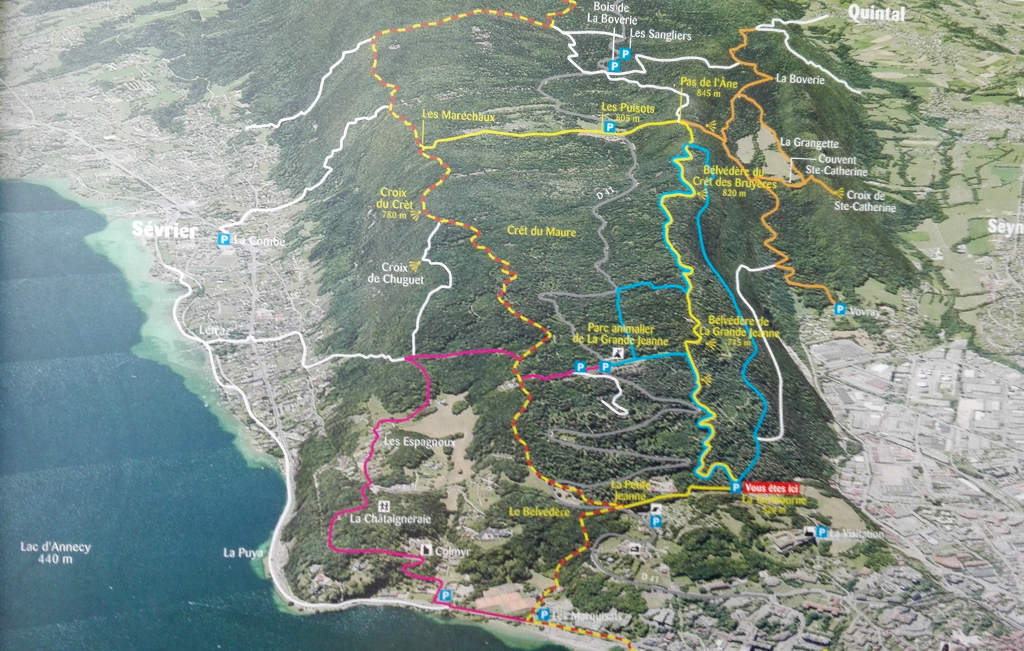
Just south of the old city in Annecy, there’s a massive public green space called the “Foret Communale D’Annecy.” Apparently, after decades of cutting for lumber, the community felt bad about its ecologic misdeeds and replanted the entire forest by hand, resulting today in a lush hiking and mountain biking area for (mostly) locals.
The red “vous etes ici” here is the trail head right beyond the La Visitation catholic church (we used these instructions to find the trailhead). Of course, what you may notice missing from this map is distances. Interesting…
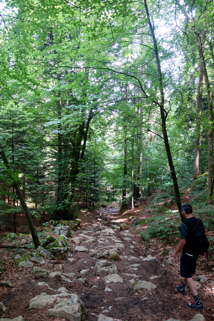
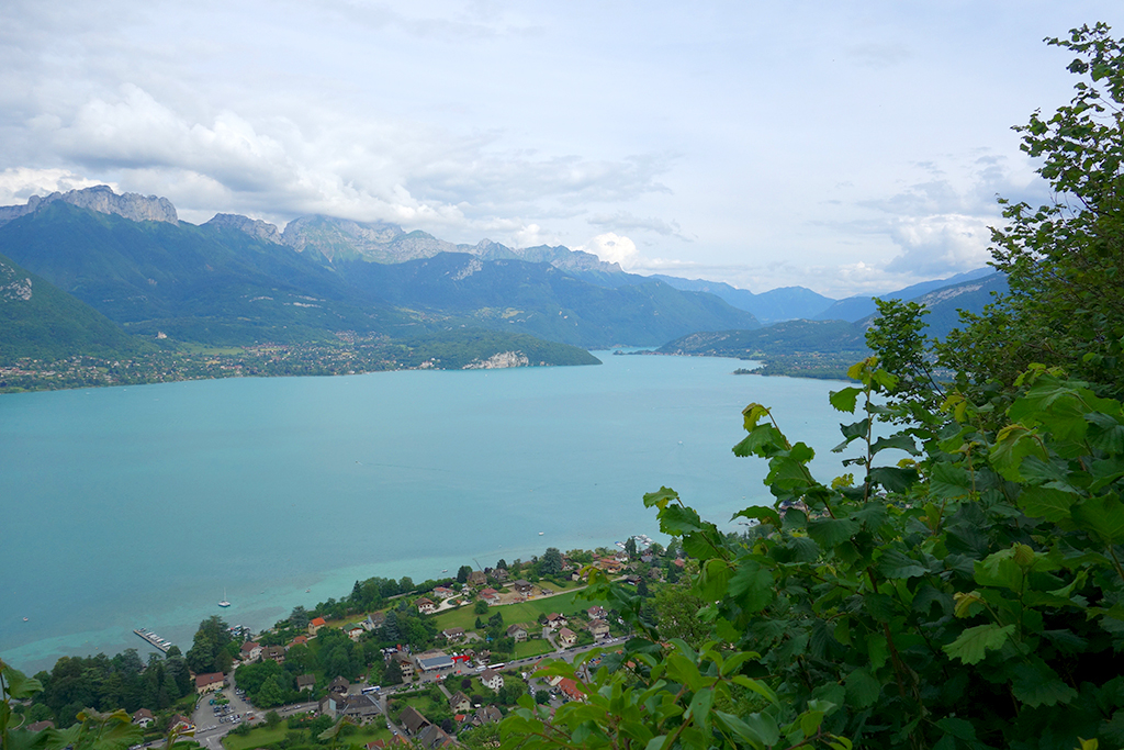
Rob and I hiked south along the blue/yellow trail – with “Belvedere” marked overlooks of the farming valley to the west. Parts of this trail look suspiciously like old Roman roads, which would make sense since Annecy was an important Roman transit point through the Alps.
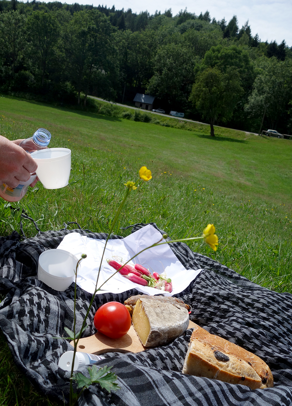
We took a left to hit “Les Puisots” and stop for a picnic in the alpine meadow. I think we had been hiking for about 90 minutes, Rob thinks it was more like 3 hours. That no-distances-on-the-map thing… The local Annecy bus runs up here to drop off picnickers and cyclists. There’s a small camp too, which was hosting a boy scout event.
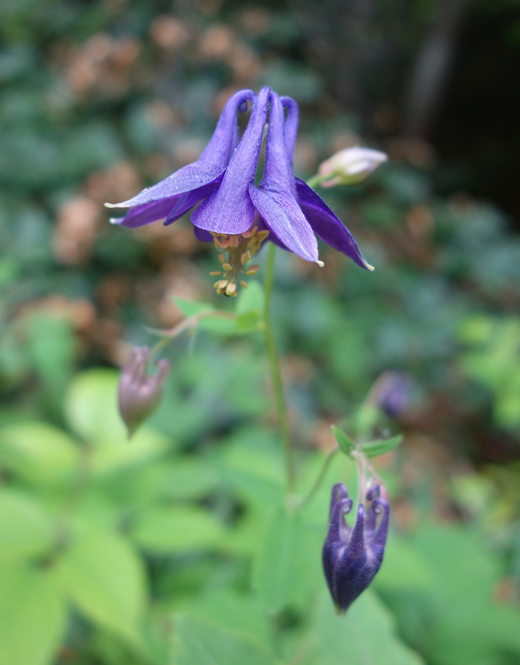
For our picnic, we had olive bread, tomme cheese, radishes, saucisson and tomatoes, all from the open market. Plus a splash of rose wine. Refilled our water bottles at the top and headed back into the forrest. We got a tiny bit lost crossing over on a less-traveled trail to meet with the red/yellow trail. The trade-off was some amazing wildflower spotting, including purple fuscia:
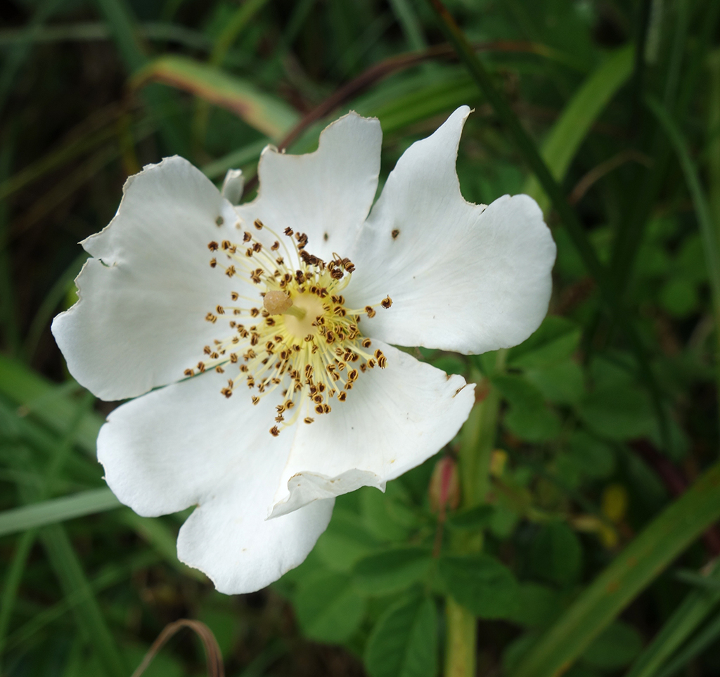
Tiny little white roses:
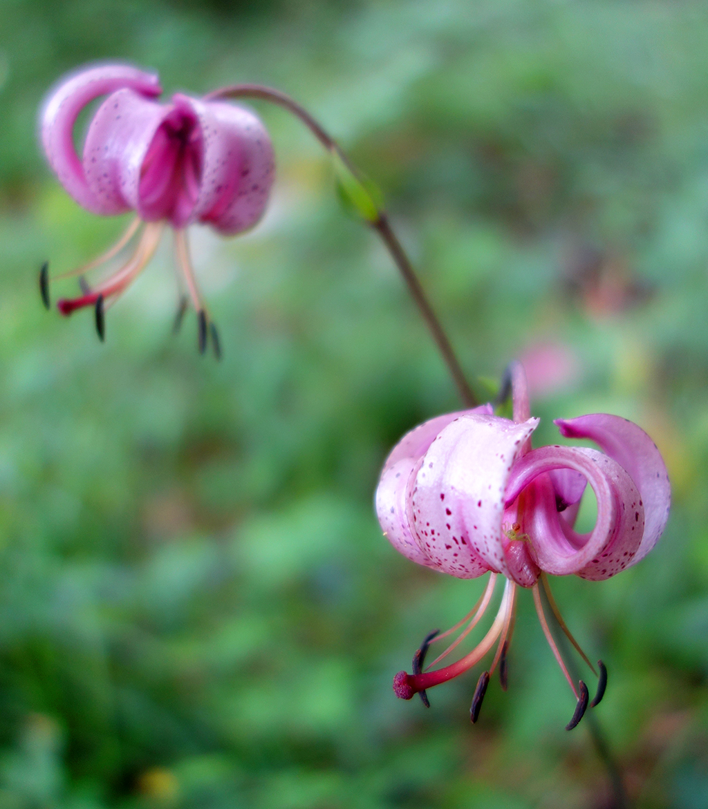
Some kind of miniature lily, about two inches across (eek! with a tiny spider I only now just noticed peeking out in the photo):
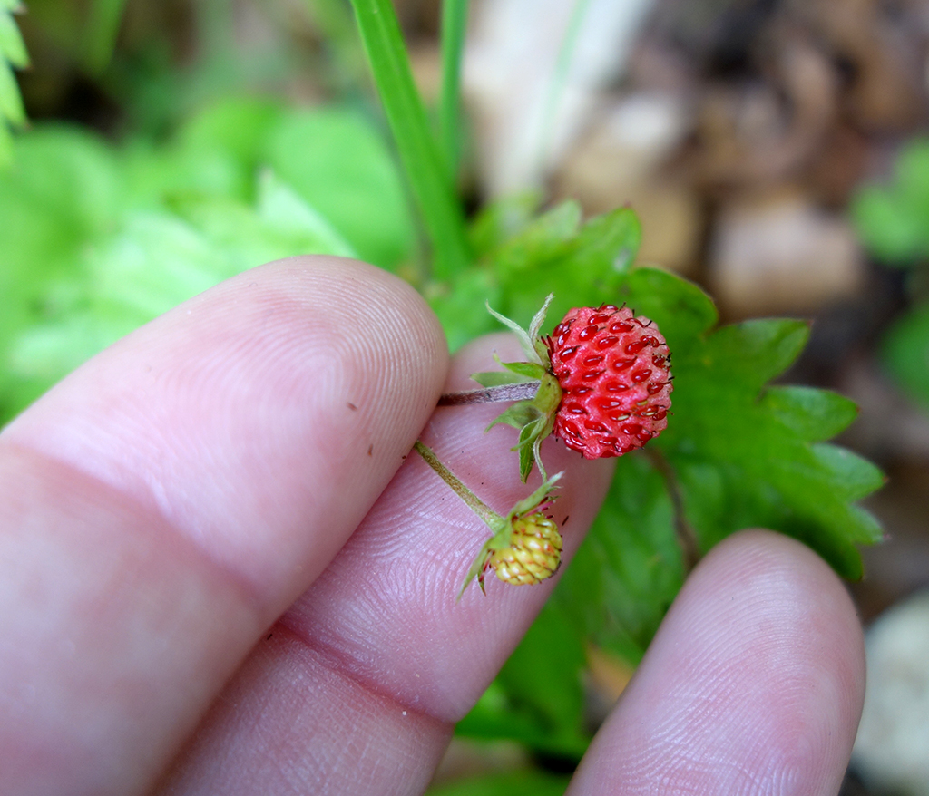
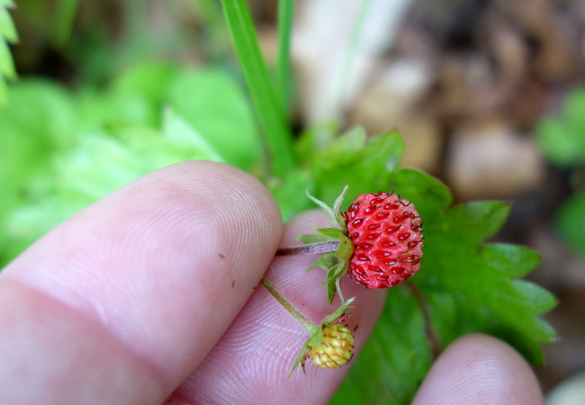
And my favorite: tiny wild strawberries! Which were everywhere and quite delicious.
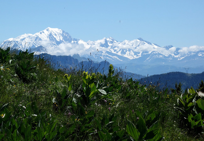
Finally, we made it over to the first of the scenic cross viewpoints. This one is Croix du Crete, further south than Croix du Chuget, where we also went. Mont Blanc is hiding just behind those mountains in the distance.
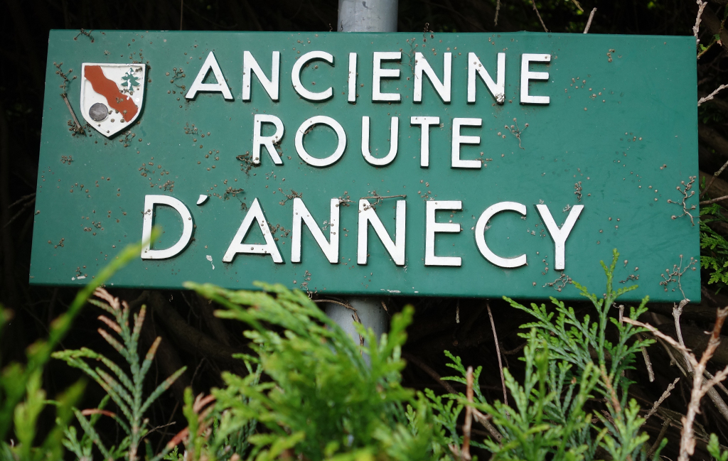
We found a trail down the steep hillside to a (confirmed) old Roman Road that is now one of the main thoroughfares into town.
Rob estimates that we had hiked about 14 miles by this point. Which is a lot. In general. But especially for someone who had her chewed up arm in a sling most of the way. Oops! We were having too much fun! Rob and I stopped at the municipal beach to soak our feet in the cold lake water for a bit.
Just a couple more miles, first around the scenic pedestrian/cyclist path and then through the old city (where Rob smartly loaded me up with delicious emergency gelato) to end our hiking adventure in the lovely Foret Communale D’Annecy.
Next Post: Market Day in Annecy, France
Previous Post: Paddleboat Picnic on Lake Annecy
